0.53 Acres of Rural Mountain Property – great for Mobile Homes & RV’s!
Payment Options
Payment Note(s)
Owner Financing Options Available!
Description
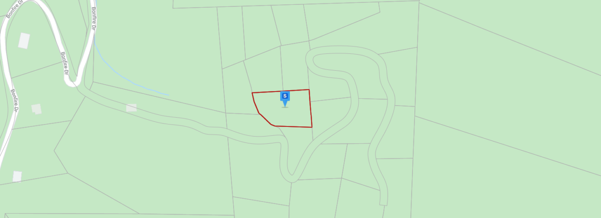
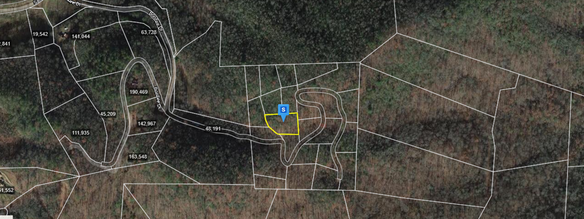
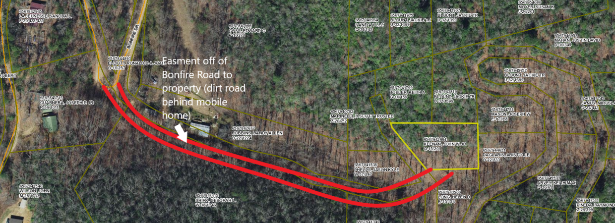
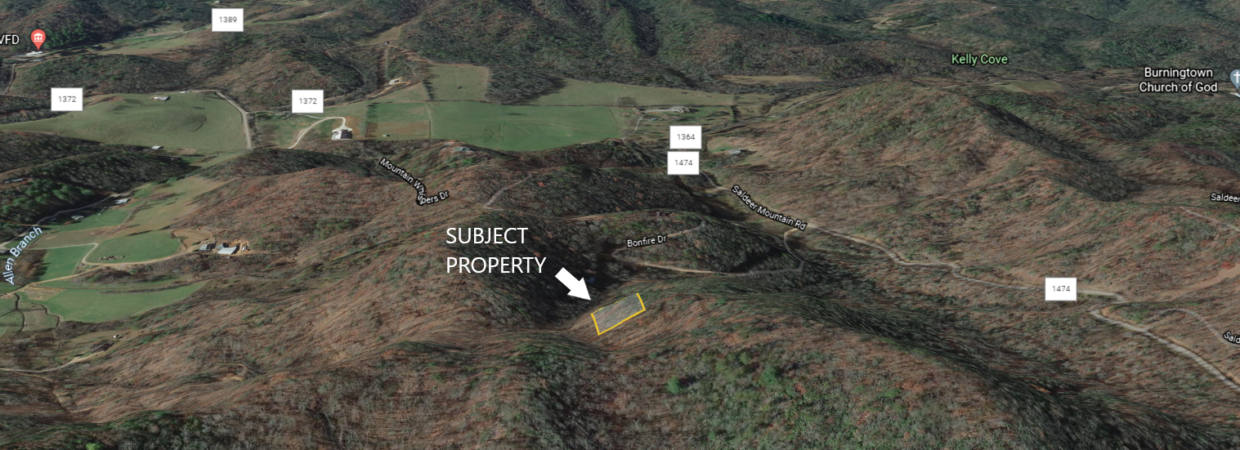
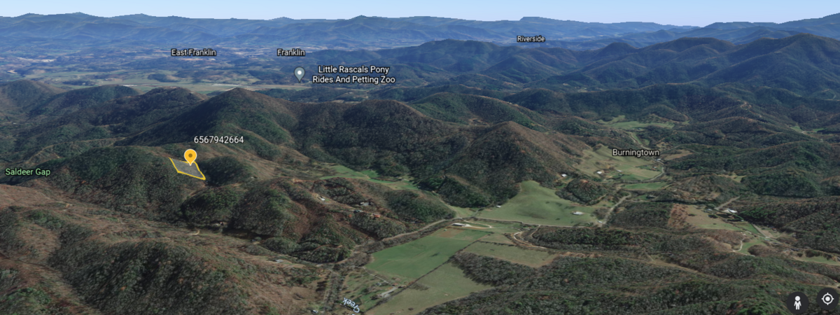
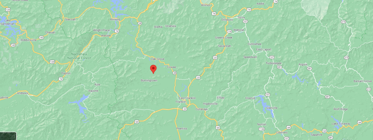
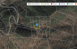
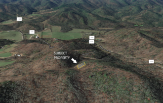
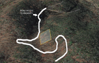
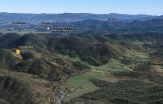
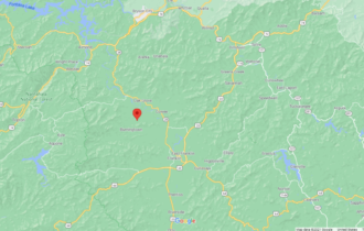
0.53 Acres located off of Bonfire Rd & Saldeer Mountain Rd, in Franklin NC. Close proximity to Nantahala National Forest. Dedicated easement for access (currently dirt road). No restrictions!!
Directions to the Property
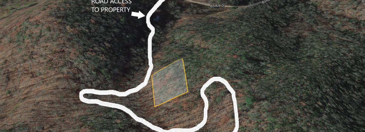
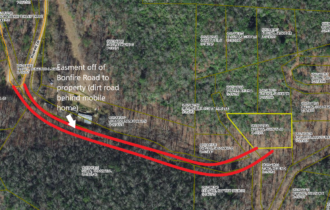
From Franklin NC: Take NC-28 (Bryson City RD) to lotla Church RD & turn left on lotla Church RD. Continue on lotla Church RD & stay to the left and street becomes Burningtown RD and continue forward. Burningtown RD becomes Lower Burningtown RD around the Burningtown Baptist church location (located on the left). Continue on Lower Burningtown RD (approx 1.7 miles). Turn right on Saldeer Mountain RD. Go approximately 0.3 miles & turn right on Bonfire Drive. Follow Bonfire to where it curves sharply & the easement goes off to the left, from where Bonfire curves (easement is dirt road behind mobile home/neighbors property), as shown in the image.
Property Information
Parcel Size
0.53
State
North Carolina
County
Macon
Nearest Cities
Franklin, NC
Parcel Number
6567942664
Address
Bonfire Dr, Franklin, NC 28734
Legal Description
Lot 7 Saldeer Mtn Est
Features
Acres
0.53
County
Macon
Subdivision
Exists
Access
Dirt Road Easement
Coordinates
35.24671, -83.459062
Zoning
Residential
Elevation
2,557 ft
Purchase Information/Fees
Closing Fee
$600
Nearby Attractions/City
Franklin, NC

Franklin, North Carolina known as the “Gem Capital of the World” lies in Macon County and within the Nantahala National Forest. Franklin also lies along the Appalachian Trail and is an official friendly destination for travelers and hikers alike. Franklin has a deep and rich Native American history, and was settled by the Cherokee Indian Nation long before the settlers in some of the oldest mountains on Earth.
